United States
 Argentina
  Australia
  Austria
  Brazil
  Canada
  Chile
Chile  Czechia
  France
  Germany
  Greece
  Italy
Italy  Mexico
  New Zealand
  Nigeria
  Norway
  Poland
  Portugal
  Sweden
  Switzerland
  United Kingdom
 Your Austin Weather Forecast


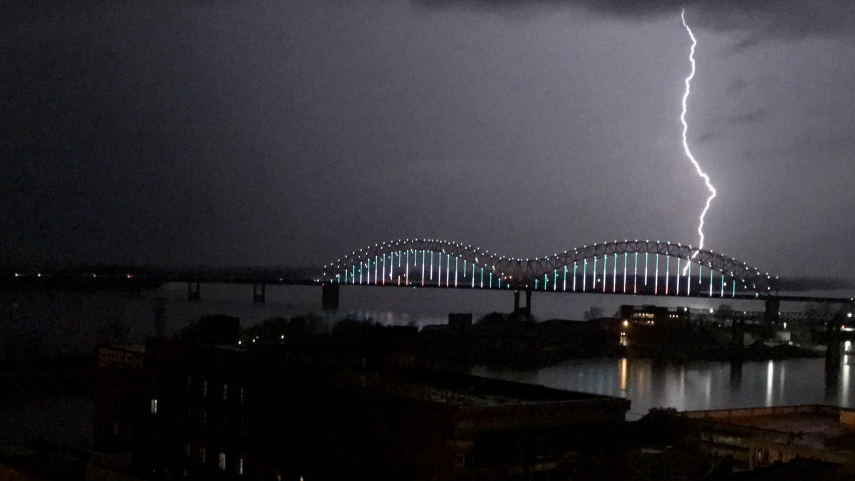
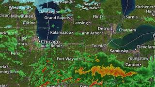
AUSTIN, Texas -- Deep moisture has surged across South Central Texas as a potent upper-level disturbance approaches the region. That will bring us mostly cloudy and breezy conditions with a few thunderstorms Friday but most of the action will come late tonight.
- Strong and severe storms possible
- Expected late tonight/early Saturday
- Heavy rain, some flooding likely
The I-35 corridor is under Level 2 "slight" risk of severe storms with large hail and damaging winds the primary concerns. Flash flooding is a possibility with rainfall amounts of 1-2 inches area wide. Up to 4 or 5 inches may be possible in a few spots.
Current Conditions | Satellite & Radar | 7 Day Forecast | Allergy
The squall line looks to arrive around midnight with storms surging eastward by Saturday morning. As some areas have seen significant rain in the last few days, the potential for quick runoff could produce flash floods. Remember, "Turn around and don’t drown” if you encounter a flooded roadway.
The atmosphere will stabilize once the system passes east. Sunday looks to be partly cloudy with highs in the mid and upper 80s.
WEATHER ON THE GO: Download the Spectrum News app and watch our live stream no matter where you are!GET WEATHER ALERTS: Sign up to receive weather text alerts from the Spectrum News Weather Team