United States
 Argentina
  Australia
  Austria
  Brazil
  Canada
  Chile
Chile  Czechia
  France
  Germany
  Greece
  Italy
Italy  Mexico
  New Zealand
  Nigeria
  Norway
  Poland
  Portugal
  Sweden
  Switzerland
  United Kingdom
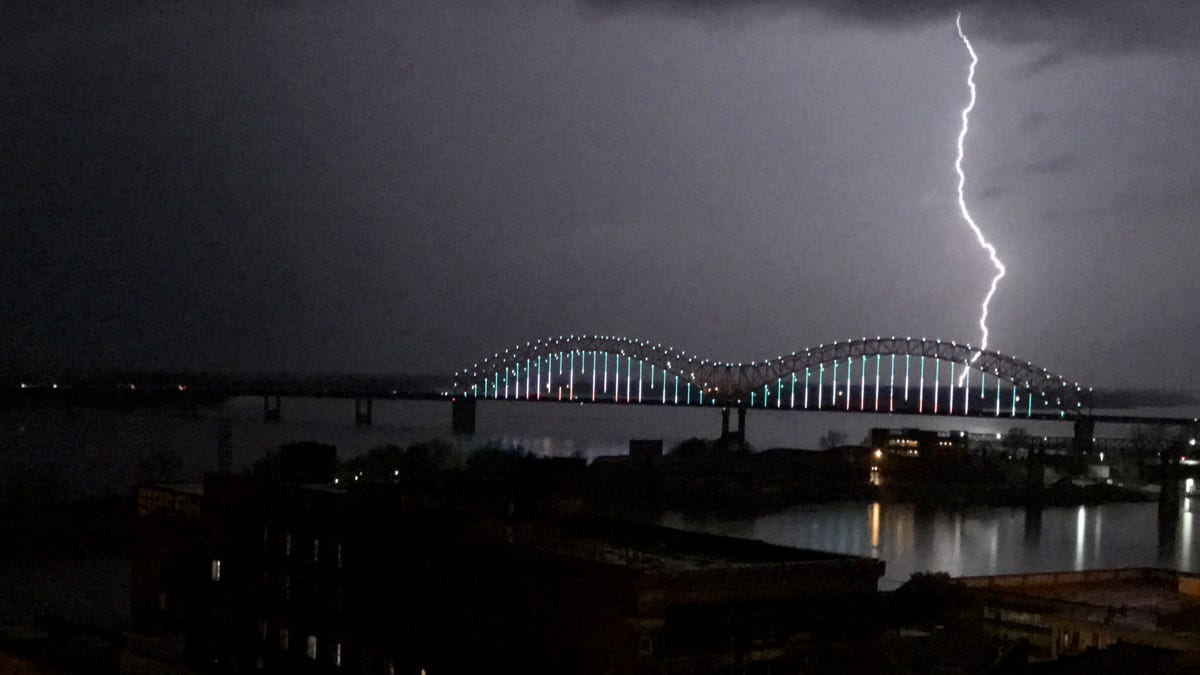
 March 28, 1:20 PM Weather Forecast Update

1:45 p.m.:

1:20 p.m.:
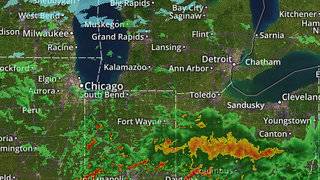
SPC outlook is mostly unchanged in latest update.
Severe risk overall:

Tornado risk (still in hatched area for 10% chance of EF2-EF5 tornado within 25 miles of any given point):

Surface warm front is right along Indiana 32 in Fountain & Montgomery counties. It is 70-73 south of the warm front with dew points 65-68.
North of the warm front, it is in the 50s.
However, warm front is trying to lift back northward & with that lift two heavy storms have developing in Tippecanoe County & are moving northeastward toward Carroll & Clinton counties. It may weaken, then fizzle in Carroll County & Clinton counties as it exits the area of best elevated instability & lift.
Pea to marble hail core may have occurred with this just a bit earlier near Wingate (per radar). It may produce hail at anytime before weakening & we will monitor for hail up to 1" in diameter if these storms continue to intensify.
A supercell t'storm with risk of large hail & severe gusts is tracking along warm front southwest of Champaign, Illinois. We will monitor to see how this tracks into our southern areas over the next hour or two. Southwest side of it has not shown much rotation yet. Storm is tending to orient itself slight north of the front & not root completely to the surface.
Behind this, warm front is beginning surge northward in western Illinois.

WRF-ARW seems to have best handle on this storm & attempts to bring it as far north as Fountain & Montgomery to Tippecanoe & Clinton counties as warm front tries to lift back northward.
We will see.
Hail is main threat, but again, if it can orient itself in more of the warmer air & become surface based, then wind & tornado risk goes way up. However, surface flow for tornado risk with supercell is still not too impressive at the moment, but we will monitor for changes.

Then main batch of storms this evening-early tonight with potential now of a mix of HP supercells & a line of storms, then a low-topped line of gusty showers & storms behind the main severe episode.
Models do show warm front moving way north this evening, bathing us in 68-76 air with 65-68 dew points with all severe hazards on the table (few tornadoes, wind, hail). Flash flooding is also possible.
Even this evening-tonight, the risk is there for an isolated strong, longer-track tornado, it appears.

Again, we watch for 40-55 mph gusts from the west early Sunday morning & through Sunday with lots of clouds & chilly temperatures.